


FAO, ULRP Provide Iranian Experts with Advanced Skills on Evapotranspiration Mapping
As part of the “Integrated Programme for Sustainable Water Resources Management in the Urmia Lake Basin,” the Food and Agriculture Organization of the United Nations (FAO) and Urmia Lake Restoration Program (ULRP) held a 4-day workshop for Iranian experts, trained them on advanced methods to map evapotranspiration of agricultural areas using remote sensing satellite data.

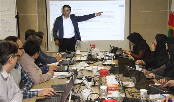
Led by an IHE Delft Institute for Water Education’s scientist, Mr Sajid Pareeth, the workshop was hosted by ULRP in Tehran from 07 to 10 December 2019.
According to Mr Pareeth, the workshop “train the participants to compute Actual Evapotranspiration (ETa) based on freely available satellite, meteorological and other secondary datasets.”
Underscoring the significance of the workshop for the country, Mr Pareeth said the method presented in the workshop “is very effective for Iran; this expertise is need of the hour to monitor water use in water-scarce situations that we face all over the world, especially in Iran.”
“This method will enable Iranian experts to set up a monitoring system to monitor water use by different land-use types, especially irrigated areas at the basin and national levels,” he added.
Ms Sara Asadi, a senior researcher in ULRP also stressed that “this method is one of the most widely used worldwide with promising results for applications like water accounting”, contributing to capacity building among Iranian institutions.
The outcome of this training “would be very useful for decision making at different scales,” as described by Mr Poolad Karimi, a senior researcher at IHE Delft Institute for Water Education.
At the farmer’s level, the ability to measure evapotranspiration will let the farmers know “whether the water is enough, are the crops suffering from water stress or not and when is the best time for irrigation,” Mr Karimi said.
He further said, “On a larger scale at basin level, this information can be helpful for the policymakers to track water use and plan interventions. They would know how much water was used in different areas and how water-saving strategies could be implemented to ensure higher water productivity.”
The workshop was attended by 19 national and local experts from different entities including the Ministry of Energy, the Ministry of Agriculture Jahad, I. R. of Iran Meteorological Organization (IRIMO), the Remote Sensing Centre of Sharif University of Technology, Urmia University, the University of Tabriz and Sharif University of Technology.
The training was the first part of three-phased skill-sharing programme on ET mapping jointly organised by FAO, ULRP and IHE Delft. It will be followed by further advanced training on seasonal ETa estimation using time-series analysis and remote sensing. In addition, regarding water accounting and to complete the training that held in 2018, three trainings are planned to conduct in next months; WaterPix training, WA+ Coding training, and WA Workshop for decision maker
FAO is working with countries to ensure that water use in agriculture is made more efficient, productive, equitable and environmentally friendly.
source: Fars News
Top News
twenty-one Minutes ago


